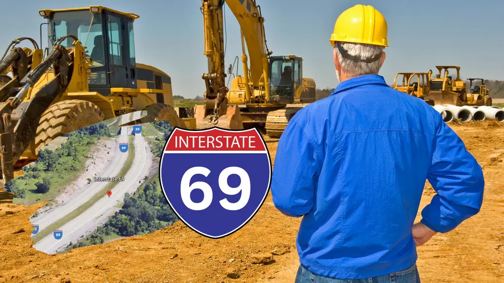
Michigan’s I-69 is Longest-Running Interstate Project In The Country at Nearly 70 Years!
When the interstate program was approved, and began in the United States in the 1950s, it's purpose was to most directly connect important points across the country. Dwight D. Eisenhower kickstarted it, and saw it as, not just a means of better access to important metros, but also a way to more easily transfer military deployment within our own borders.
Most of these interstates were completed within a couple decades, and the official Construction project finish date was in 1992. But one highway, in particular, never got finished, and is technically still ongoing, and it runs through Michigan.

First of all, ignore how this map just... completely eliminates Lakes Huron, Erie, and Ontario. *facepalm*
When looking at this map, notice the different section colors. Red representing sections of the highway already finished, or currently under construction. Pink are proposed sections of highway, and the Blue lines are other segments of National Highway that are tied to Corridor 18, which is part of the I-69 project.
When the interstate project was conceived, one route was to better connect the southern-most point of Canada, to the Mexican border in Texas. The "NAFTA" Superhighway (I-69) would be that direct path, starting in Port Huron, MI, and stretching to Brownsville, TX.
Things started well, with the main stretch through Michigan and into Indianapolis, IN being finished in the 1960s. The next segment from Indy to Evansville, IN was also finished in a decent amount of time.
That's where things get dicey, as the highway crossed into Kentucky.
The first big hang-up was getting across the Ohio River. For the longest time, Kentucky and Ohio couldn't agree on where the bridge would go for a direct I-69 path across. For now, drivers take a detour across US Highway 41, though plans are being discussed to create its own crossing point, and have still been debated as recently as 2018.
There's also a stretch of highway from Mayfield, to Fulton, KY at the Tennessee called the "Purchase Parkway" that is part of the Kentucky Parkway highway system - independent of the National Highway system.
And that's where the proposed plans really start to break down.
By the time the highway construction got to this part of the country, it was the 1990s, and SO many other US, and State Highways had been built between many of the metropolitan areas proposed for the I-69 project. It was nearly impossible to create "NEW" highway when perfectly fine road already existed between Memphis and Shreveport, and down to Houston.
So, Why spend the money, right?
Plans still exist to continue the road to the Texas/Mexico line, but as far as the initial plans, and intended purpose of I-69, it's still under construction, and remains the longest-running Interstate Highway project in the country, from 1956-2023... a nearly 70-year-long project that started right here in Michigan.
The 5 Worst Roads To Drive On In Kalamazoo
More From US 103.1 FM


